Plainfield Public Library Historical Map Collection
The Library's map collection includes over 300 country, state, county, and Plainfield maps. These include flat and framed wall maps. We also have Sanborn Fire Insurance Maps that exist in hard copy and microfilm from 1886 to 1956. Please refer to our complete inventory document for descriptive information about each map including title, date, topographer, geologist, and subject.
Some of the maps have been digitized (see below for links).
Click here to view the Library's Map Collection Inventory (PDF).
Please contact the Local History Department for further assistance and information regarding the map collection.
Digitized Map & Atlas Highlights
Battle Grounds of the Revolution, 1777.
Map of Plainfield, 1832.
Map of Plainfield, Essex County, New Jersey, 1852.
(Dunham) Atlas of the City of Plainfield, Union County, and Borough of North Plainfield, Somerset County, New Jersey, 1894.
Map of Plainfield, N.J., 1878.
Map of Plainfield, 1890.
Map of Plainfield and North Plainfield, N.J., 1899.
More Maps on New Jersey Digital HIghway
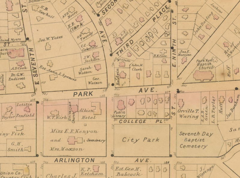
Map Section by F. A. Dunham.
Atlas of the City of Plainfield, Union County, and Borough of North Plainfield, Somerset County, New Jersey, 1894.
|
